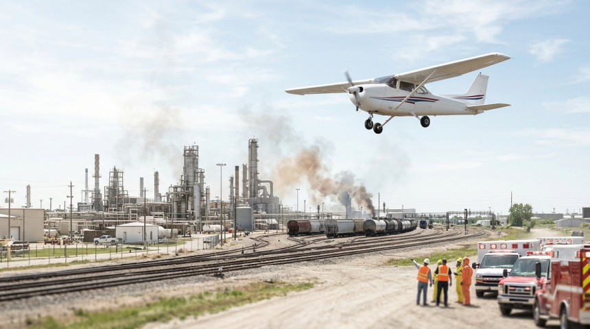
A Cessna aircraft used to monitor toxic emergencies is flying fewer missions, leaving disaster responders without real-time data as hazardous incidents increase.
The reduction could slow decisions during chemical releases, industrial fires, and other events involving dangerous substances. The available information does not identify the aircraft operator, its location, or the period covered by the reported increase.
Responders Lose a Live View
Aircraft can give emergency teams a wide view of a disaster zone. Depending on their equipment, they may track smoke, map affected areas, or collect readings from locations that crews cannot safely enter.
Real-time information helps incident commanders decide where to send staff and equipment. It may also guide evacuation zones, road closures, public warnings, and requests for added support.
“The Cessna is flying fewer missions and can no longer provide real-time data to disaster responders as toxic emergencies rise.”
The loss of live reporting does not mean responders have no information. Ground sensors, weather reports, satellite images, drones, and reports from field crews may still support operations.
However, each option has limits. Fixed sensors cover only certain locations. Satellites may not pass overhead at the right time. Ground teams can face direct exposure, while drones may have limited range or flight restrictions.
Delays Can Carry Public Safety Costs
Toxic emergencies can change quickly. Wind may shift smoke or contaminated air into new neighborhoods. Fires can damage storage tanks, while runoff can move pollutants into waterways.
Without current aerial data, officials may need to act using older readings or computer estimates. That uncertainty can lead to wider precautionary zones or delays while teams confirm conditions.
The main operational risks include:
- Slower detection of changing smoke or contamination patterns
- Greater danger for crews sent into poorly mapped areas
- Delayed evacuation, shelter, or road-closure decisions
- More reliance on estimates instead of direct observations
Officials also face a difficult balance. Acting too slowly can expose residents and workers. Acting too broadly can disrupt communities, close businesses, and strain emergency resources.
Key Details Remain Unclear
The reason for the mission decline has not been stated. Possible causes could include maintenance, staffing, funding, aircraft availability, or operating limits. None has been confirmed.
There is also no disclosed count of missions, toxic incidents, or missed data requests. Those figures would be needed to measure the scale of the service gap and compare current performance with earlier years.
Public agencies could clarify the issue by releasing flight totals, response times, aircraft readiness records, and plans for backup coverage. Such records would show whether the reduction is temporary or part of a longer decline.
Backup Capacity Will Shape the Response
The central question is whether other systems can replace the Cessna’s role quickly enough. A strong backup plan may combine aircraft, drones, satellites, mobile sensors, and agreements with nearby agencies.
Yet replacement tools must provide information in a form that emergency teams can use during active incidents. Speed, accuracy, geographic reach, and safe operation all matter.
For communities near factories, transport routes, storage sites, or wildfire zones, the reduced mission schedule raises a direct public safety concern. Rising toxic emergencies create more demand at the same time that aerial monitoring has weakened.
What happens next will depend on the cause of the flight cuts and the availability of substitutes. Officials will need to show how responders will receive timely data before the next hazardous event puts that system to the test.